


Mastering the US Highway System
Thanks to modern technology, we often take road signs throughout the country for granted. But there’s a lot that goes into the naming and labeling of each highway. With these explanations and fun facts, you’ll become a road warrior in no time.
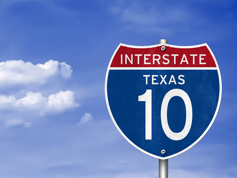
Interstate Highways
- Established under the Eisenhower administration, signs are marked with red-and-blue shields.
- Major highways are identified by one- and two-digit numbers.
- Routes that go north to south are assigned odd numbers, with the numbers growing larger from the west to the east.
Example: Interstate 5 runs through California, Oregon, and Washington, from the Mexican border to the Canadian border.
- Routes that go from the east to the west are assigned even numbers, with the numbers growing larger from the south to the north.
Example: Interstate 90 crosses the United States from Seattle, Washington, all the way to Boston, Massachusetts.
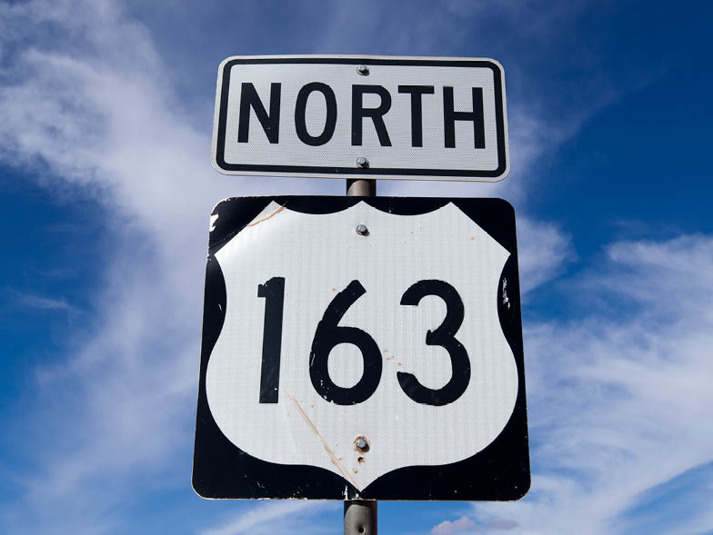
US Highways
- US highways are labeled with black-and-white badge signs, and range from one to three digits.
- These highways follow the same odd-and-even method of interstates, but the numbers grow in opposite directions.
North-South: US Highway 1 runs from Maine to Florida.
East-West: US Highway 82 runs from New Mexico to Georgia.
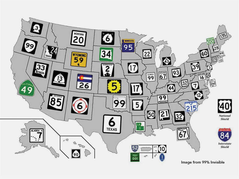
State and County Routes
- Signage for these routes differs based on each state and county.
- For the most part, states follow both the Interstate and US Highway patterns, assigning odd numbers to north-to-south routes and even numbers to east-to-west routes.

Fast Facts!
- It took 17 years to create, and fund the idea of the interstate.
- The states set the speed limits.
- The red-and-blue shields used to designate interstate signs are trademarked by the American Association of State Highway officials.
- There are no design rules dictating the shape of roads.
- No state has fewer than 3 interstates.
8856 Views
Related Posts


Popular Posts